Kokrajhar MB
Kokrajhar town is the Headquarter of Kokrajhar district as well as the capital of Bodoland Territorial Region (BTR) and is situated on the eastern side of Gaurang River.
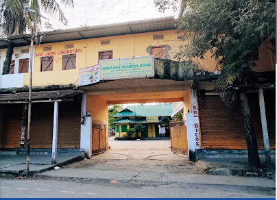
Kokrajhar town is the Headquarter of Kokrajhar district as well as the capital of Bodoland Territorial Region (BTR) and is situated on the eastern side of Gaurang River.
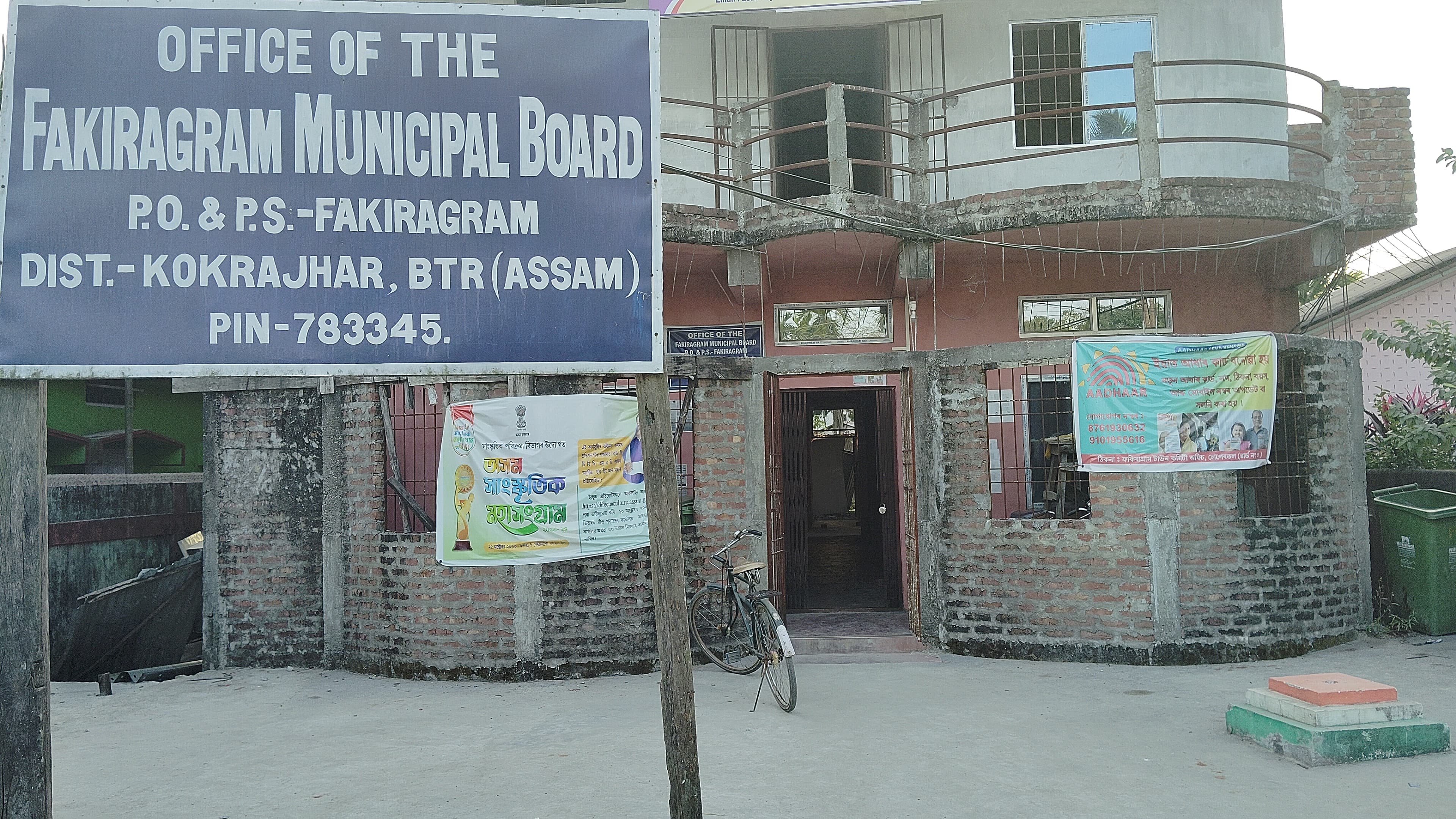
The Fakiragram Town is connected both with National High Way-31C & National High Way 30. The Town is also well connected with rail comminication. The Kokrajhar District Head Quartar is 13 Km away from Fakiragram Town. There are large numbers of Schools & Colleges available under Fakiragram Municipal Board area.
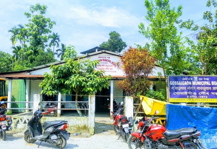
Gossaigaon is one of the developing town in the Bodoland region of Assam, India. This is a sub-divisional headquarter of Kokrajhar district. It shares its boundaries with the neighboring state West Bengal in the west and Dhubri district to the south. It is one of the BTR's proposed districts.
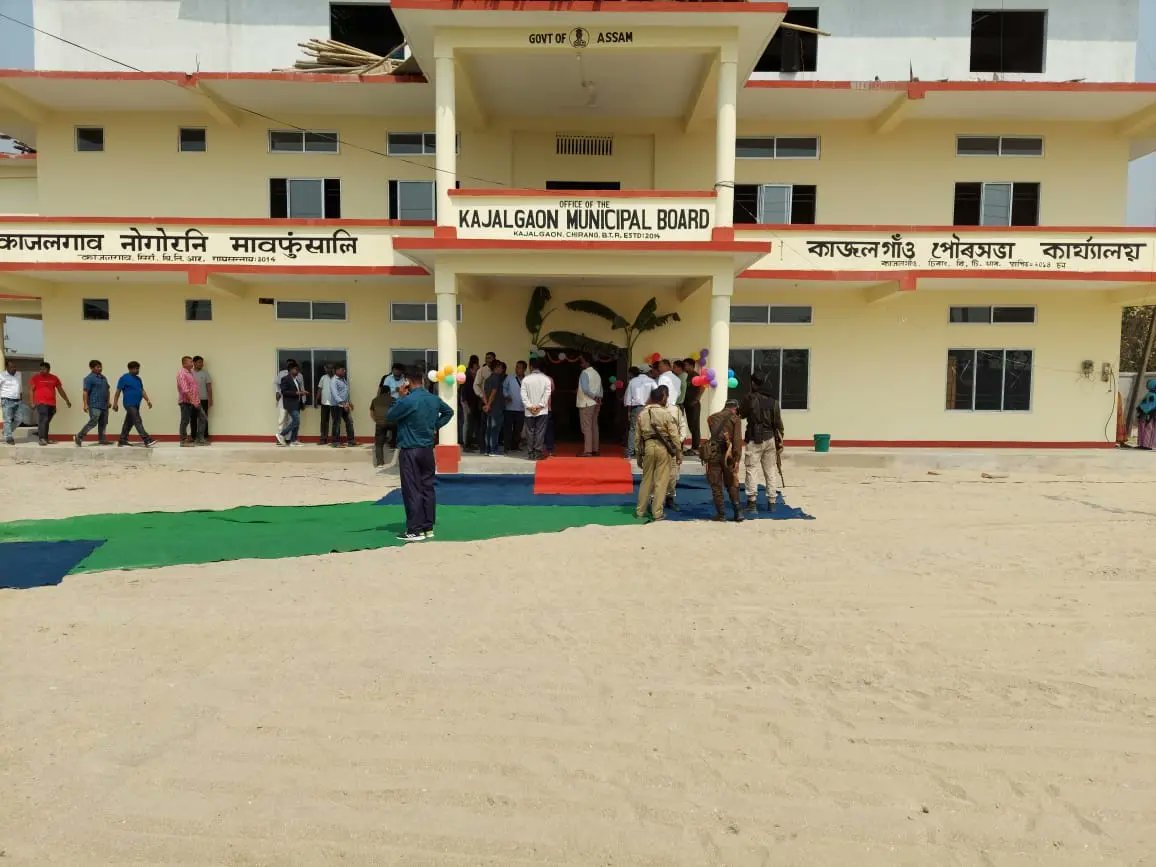
Kajalgaon is a Town in Chirang District of Assam, India . It is and Industrial town and a Municipal Board area. It is neighborhood of Bongaigaon and it is situated approximately 165 K.M. from Guwahati city in the western part of the lower Assam region . Kajalgaon Municipal Board was formed in the year 2013.
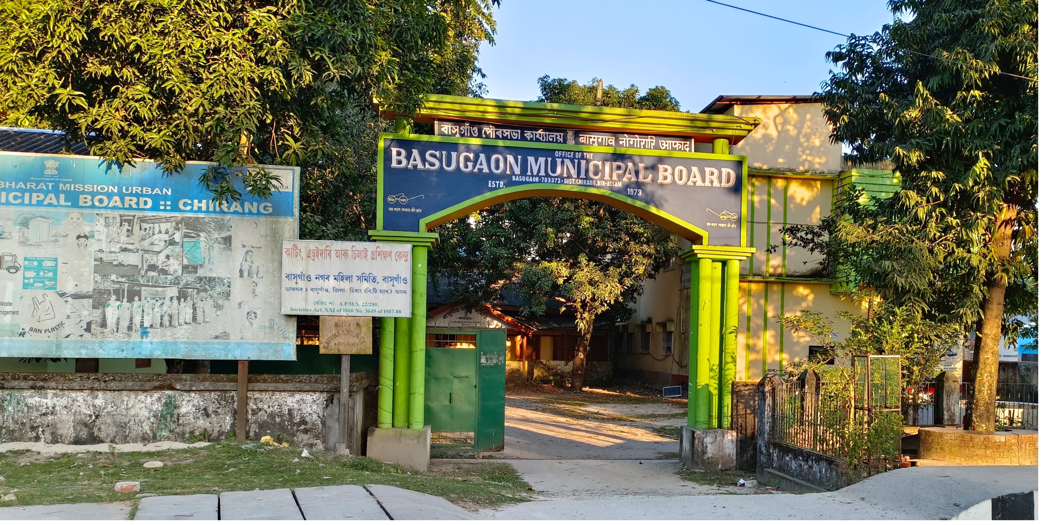
Basugaon is a Town in Chirang District of Assam, India the name of this Town is Derived from its high Bamboo plantation and Bamboo market basically “basu” or “bash” means Bamboo and “gaon” means village that is Basugaon, the village of Bamboo.
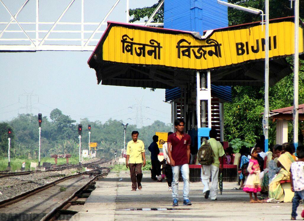
Bijni Town is surrounded by village Kawatika, Doritos, Batabari, Betagaon, Chhatinguri, Lechiagaon,Amguri,Puran Bijni, Gerukabari, Sabrina, Goraimari,Baghmara,Majrabari,Bijni Panbari Road(Deukura Par). Bijni town committee was formed in the year 1971 and later in 2018 it was upgraded to Bijni Municipal Board,Bijni.
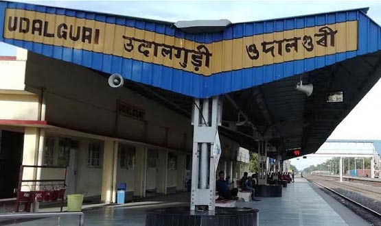
Udalguri is a district in Assam which shares an international border with Bhutan and also a state border with Arunachal Pradesh at its North. The district was carved out from Darrang district on 14 June, 2004
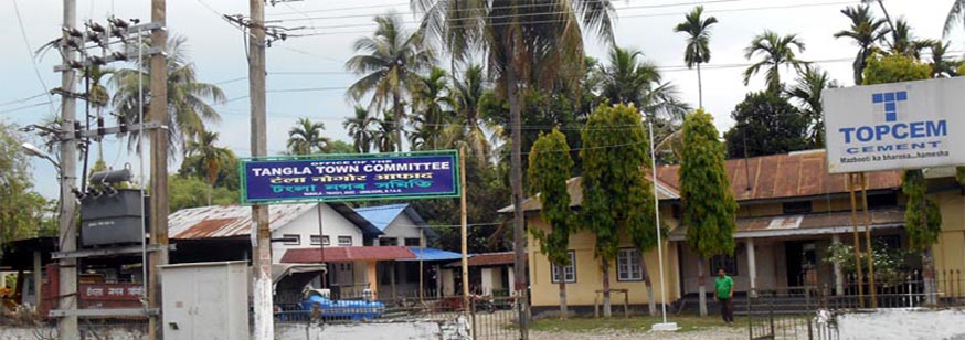
Tangla Town Committee is an Urban Local Body of Udalguri District, was established in 1962. Initially Tangla was a town of Darrang District, but presently it is a town of Udalguri District. With a population of 17,183 (as per 2011 census), Tangla Town covers an area of 3.19 sq. Km.. The Town authority of Tangla is consistantly working heard to provide better, clean, hygenic urban facilities to the citizen of the town.
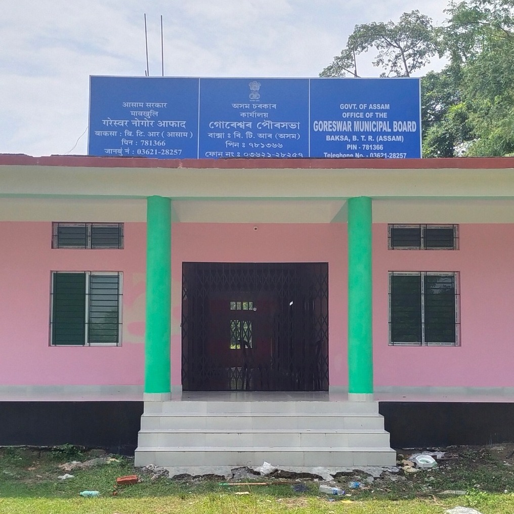
Goreswar Town is a town in district of Tamulpur, Assam. It was established in 26/06/2014 and functioniong in 21/07/2016. The Goreswar Municipal Board has 8 wards with population 10,537 as per cencuss 2011 and male population 5800 and Femal Population 4737. Geographical area-6.50 SqKm. The municipal boundary by North- Bhogpur, East- Rampur, South- Garogaon, West- Bagdoba
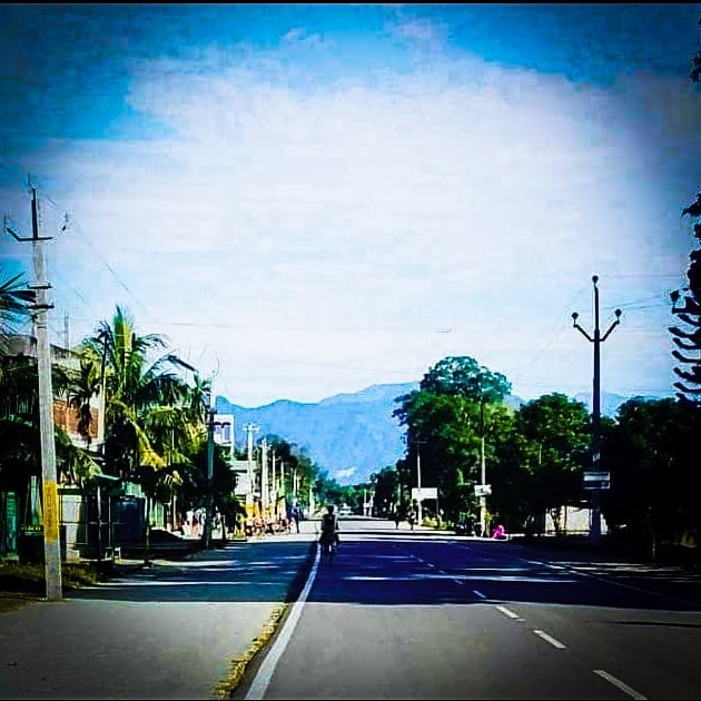
Mushalpur village is located in Baska subdivision of Baksa district in Assam, India. It is situated 25km away from sub-district headquarter Baksa (tehsildar office) and 25km away from district headquarter Mushalpur.The total geographical area of village is 205.6 hectares. Mushalpur has a total population of 795 peoples, out of which male population is 429 while female population is 366. Literacy rate of mushalpur village is 67.30% out of which 75.99% males and 57.10% females are literate. There are about 150 houses in mushalpur village.

Tamulpur district, is an administrative district in Bodoland Territorial Region of Assam, one of the North-Eastern states of India. The administrative headquartered at Tamulpur.
Kokrajhar town is the Headquarter of Kokrajhar district as well as the capital of Bodoland Territorial Region (BTR) and is situated on the eastern side of Gaurang River.
Kokrajhar was originally a part of the undivided Goalpara district. In 1957 it was curved out as a Civil Sub-division from the then Dhubri Sub-division of Goalpara district. Till then it was merely small town with a railway station. On 1st July, 1983 it was upgraded into a district. At that time, there were four Police stations viz. Bijni, Sidli, Kokrajhar and Gossaigaon with a total area of 4,065.88 Sq.Km. spreading from the river Manas in the east to the river Sonkosh in the west. In 1989, the district of Bongaigaon was curved out with about 40% area of Kokrajhar district. Later on, the Nayekgaon G.P. of Dhubri district with an area of 40.22sq.km was merged with this district. Again on 10th February, 2009 Chirang district was created by curving out parts of Kokrajhar district and some parts of Dhubri district were merged with Kokrajhar district. The present area of the district is estimated to be 3,169.22sq.km and that of the town is 125.78 sq.km.
In the year 1956 Kokrajhar town committee was formed to look after the various civic needs of the growing community and it got the status of Municipal Board in the Year 1970.
Kokrajhar was declared Sub-Division in the year 1957. Electricity came to Kokrajhar for the first time in 15th August, 1957. Kokrajhar College was established in the year 1959, B.T. College 1971, Law College and Commerce College in 1986 and Girls’ College in 1989.
Kokrajhar was declared District in the year 1983, The Bongaigaon refinery and Petrol Chemical Complex established in the year 1972 came under Kokrajhar District. The Bongaigaon Thermal Power Station was established in the year 1975 at Salakathi. As a district Headquater, number of Government and Semi-Government establishments came into existence at Kokrajhar creating employment opportunities to a considerable extent and as a result people from outside have started migrating to Kokrajhar in search of job and economic opportunities.
The colourful Bodo community comprises the majority in Kokrajhar district. It also has a sizeable Rajbongshi and Santhal population. Issues relating to disparities across socio-religious communities have attracted much attention of the Government of India and have led to the growing realisation about the relative backwardness of the relative minorities. The result of one such situation is the formation of the BTAD which was created as a new political administrative region with four new districts viz. Kokrajhar, Chirang, Baksa and Udalguri after the signing of BTC accord between the Bodo Liberation Tigers (BLT) the then organisation spearheading the movement for separate Bodoland State, Assam Government and the Central Government on 10th February of the year 2003. The BTAD was created after the amendment of 6th schedule of Indian Constitution. A new agreement was signed between NDFB, ABSU, Assam Government and the Central Government on on 27th January 2020 by creating Bodoland Territorial Region (BTR).
• To provide democratic and accountable government for local communities
• To ensure the provision of services to communities in a sustainable manner
• To promote social and economic development
• To promote a safe and healthy environment
• To encourage the involvement of communities and community organisations in the matters of local government.
• To structure and manage its administration and budgeting and planning processes to give priority to the basic needs of the community, to promote the social and economic development of the community
• To participate in national and provincial development programmes
