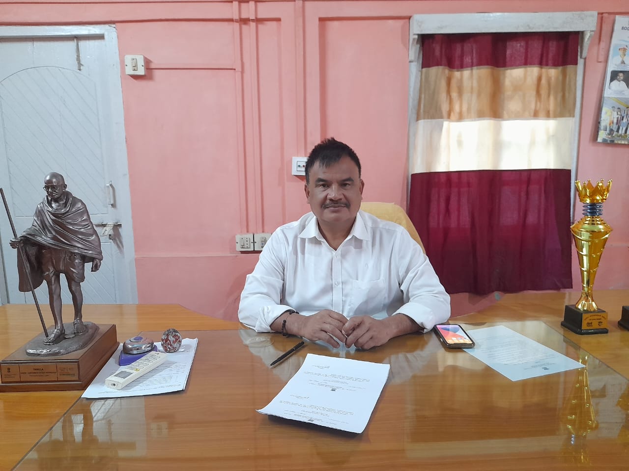
Kokrajhar MB
Kokrajhar town is the Headquarter of Kokrajhar district as well as the capital of Bodoland Territorial Region (BTR) and is situated on the eastern side of Gaurang River.
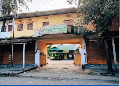
Kokrajhar town is the Headquarter of Kokrajhar district as well as the capital of Bodoland Territorial Region (BTR) and is situated on the eastern side of Gaurang River.
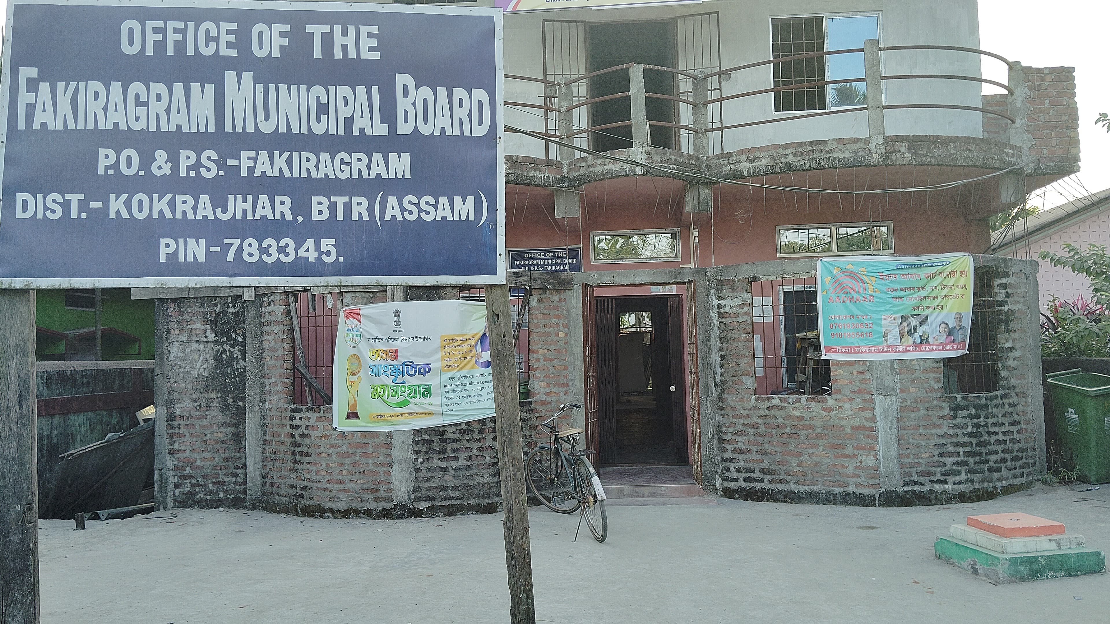
The Fakiragram Town is connected both with National High Way-31C & National High Way 30. The Town is also well connected with rail comminication. The Kokrajhar District Head Quartar is 13 Km away from Fakiragram Town. There are large numbers of Schools & Colleges available under Fakiragram Municipal Board area.
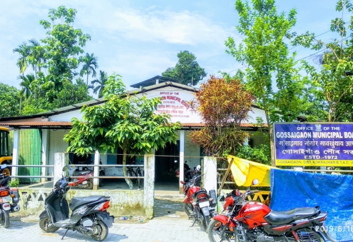
Gossaigaon is one of the developing town in the Bodoland region of Assam, India. This is a sub-divisional headquarter of Kokrajhar district. It shares its boundaries with the neighboring state West Bengal in the west and Dhubri district to the south. It is one of the BTR's proposed districts.
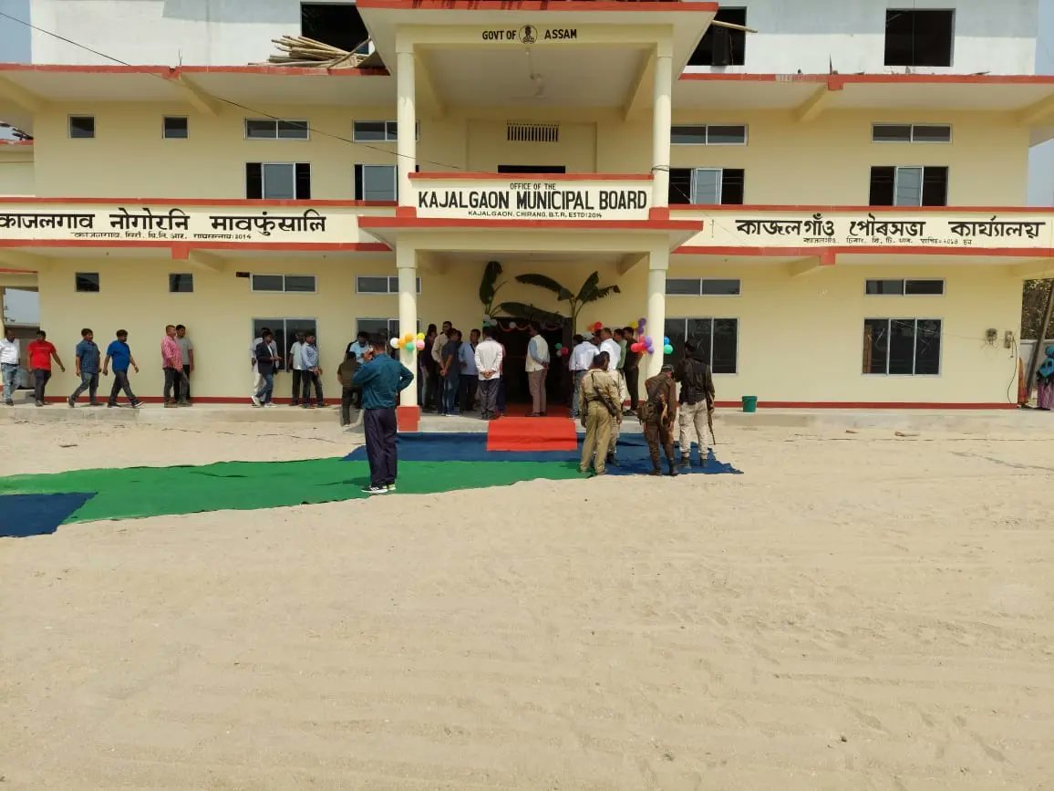
Kajalgaon is a Town in Chirang District of Assam, India . It is and Industrial town and a Municipal Board area. It is neighborhood of Bongaigaon and it is situated approximately 165 K.M. from Guwahati city in the western part of the lower Assam region . Kajalgaon Municipal Board was formed in the year 2013.
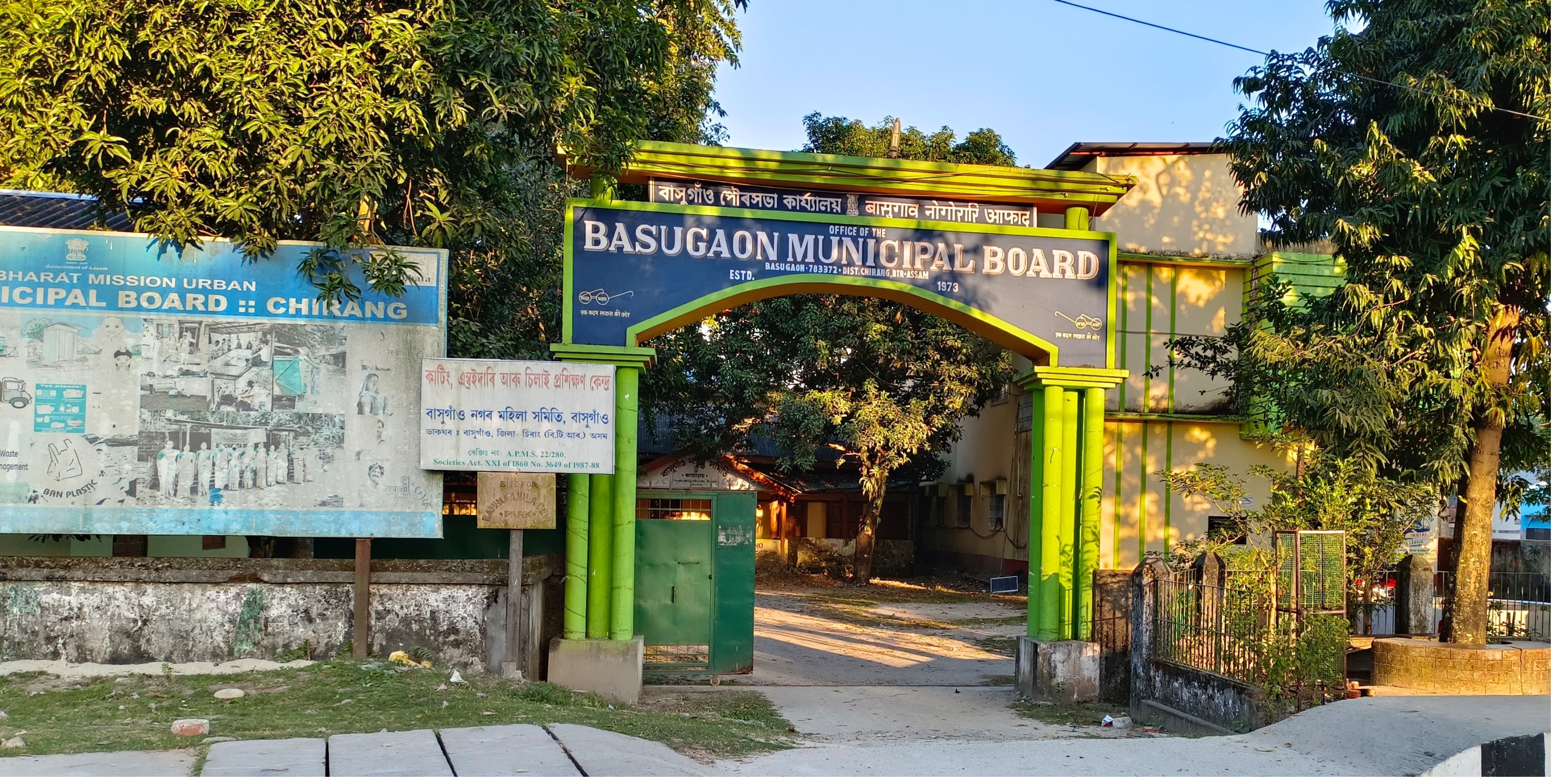
Basugaon is a Town in Chirang District of Assam, India the name of this Town is Derived from its high Bamboo plantation and Bamboo market basically “basu” or “bash” means Bamboo and “gaon” means village that is Basugaon, the village of Bamboo.
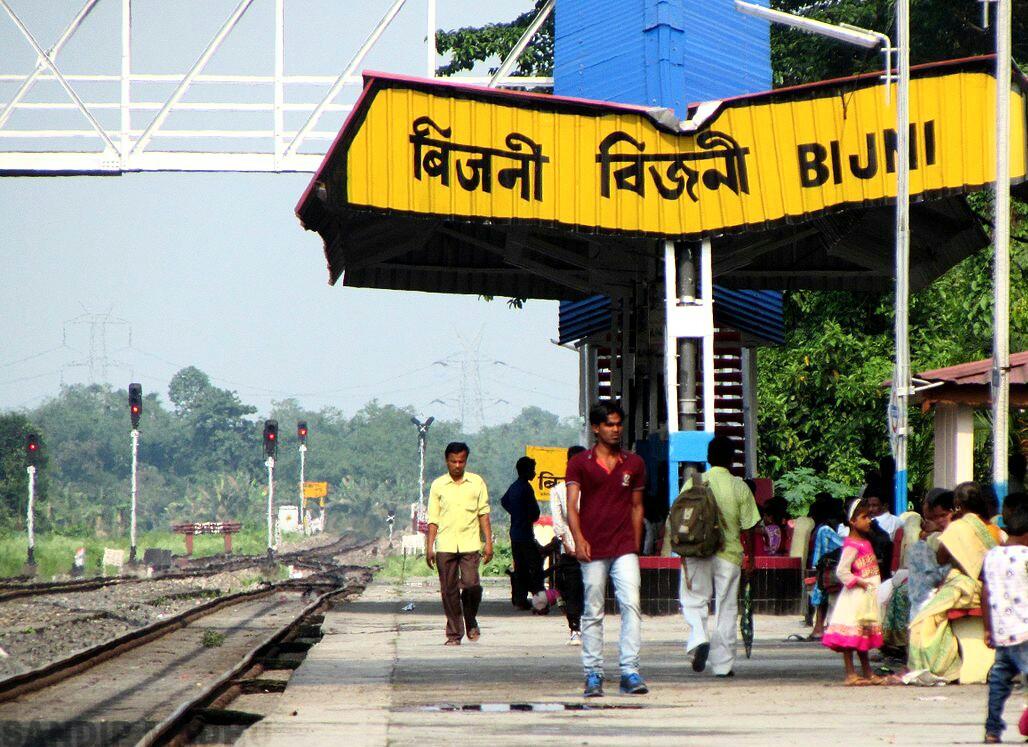
Bijni Town is surrounded by village Kawatika, Doritos, Batabari, Betagaon, Chhatinguri, Lechiagaon,Amguri,Puran Bijni, Gerukabari, Sabrina, Goraimari,Baghmara,Majrabari,Bijni Panbari Road(Deukura Par). Bijni town committee was formed in the year 1971 and later in 2018 it was upgraded to Bijni Municipal Board,Bijni.
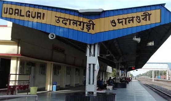
Udalguri is a district in Assam which shares an international border with Bhutan and also a state border with Arunachal Pradesh at its North. The district was carved out from Darrang district on 14 June, 2004
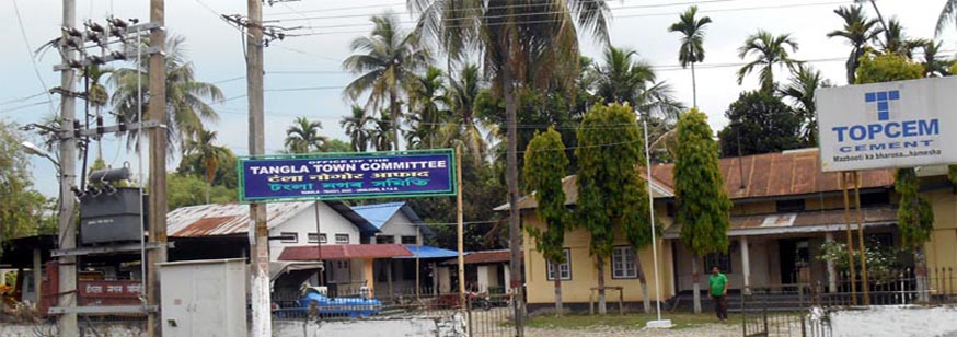
Tangla Town Committee is an Urban Local Body of Udalguri District, was established in 1962. Initially Tangla was a town of Darrang District, but presently it is a town of Udalguri District. With a population of 17,183 (as per 2011 census), Tangla Town covers an area of 3.19 sq. Km.. The Town authority of Tangla is consistantly working heard to provide better, clean, hygenic urban facilities to the citizen of the town.
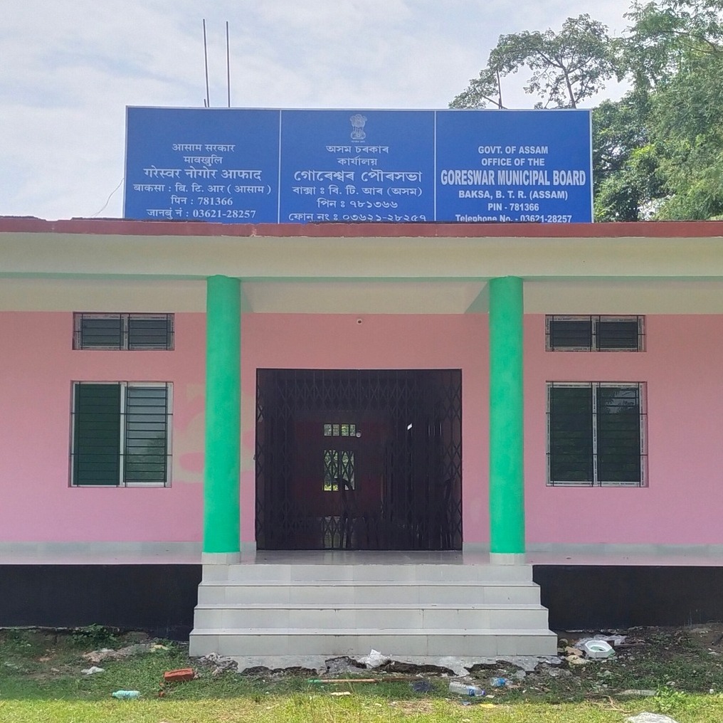
Goreswar Town is a town in district of Tamulpur, Assam. It was established in 26/06/2014 and functioniong in 21/07/2016. The Goreswar Municipal Board has 8 wards with population 10,537 as per cencuss 2011 and male population 5800 and Femal Population 4737. Geographical area-6.50 SqKm. The municipal boundary by North- Bhogpur, East- Rampur, South- Garogaon, West- Bagdoba
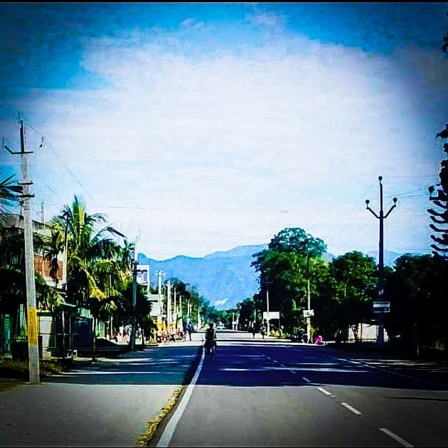
Mushalpur village is located in Baska subdivision of Baksa district in Assam, India. It is situated 25km away from sub-district headquarter Baksa (tehsildar office) and 25km away from district headquarter Mushalpur.The total geographical area of village is 205.6 hectares. Mushalpur has a total population of 795 peoples, out of which male population is 429 while female population is 366. Literacy rate of mushalpur village is 67.30% out of which 75.99% males and 57.10% females are literate. There are about 150 houses in mushalpur village.

Tamulpur district, is an administrative district in Bodoland Territorial Region of Assam, one of the North-Eastern states of India. The administrative headquartered at Tamulpur.
Tangla Town Committee is an Urban Local Body of Udalguri District, was established in 1962. Initially Tangla was a town of Darrang District, but presently it is a town of Udalguri District. With a population of 17,183 (as per 2011 census), Tangla Town covers an area of 3.19 sq. Km.. The Town authority of Tangla is consistantly working heard to provide better, clean, hygenic urban facilities to the citizen of the town. Tangla Town Committee has total administration over 3,844 houses and 1820 trading organisation to which it supplies basic urban amenities . It is also authorize to build roads, construct drain system, develop PARK, within town area and impose taxes on properties, license fees to run a trade coming under its jurisdiction.The river naika and nonoi are flowing through the heart of the town works as a blessing of God.
Tangla Town Committee was constituted in the year 1961 under the Chairmanship of the Sri Sasadhar Ghose with 4 nos of wards. Presently Tangla is a town in district of Udalguri, BTAD, Assam. The Tangla Town is divided into 4 wards and constituted Town Committee for which elections are held in every 5 years. The Tangla Town Committee has population of 17,183 of which 8,883 are males while 8,300 are females as per report released by Census India 2011. Tangla is well connected by Road and Rail. The nearest National Highway (NH-15) is 32 KM south of the Town. The nearest Railway Station is Tangla. The distance of state capital of Assam, Dispur is 99 KM., and nearest airport is Lokapriya Gopinath Bordoloi Interational Airport is 90 KM away. The distance from Tangla to BTAD head quarter Kokrajhar is 221 KM.
